


Trearddur Bay sailing area
Tidal-stream charts
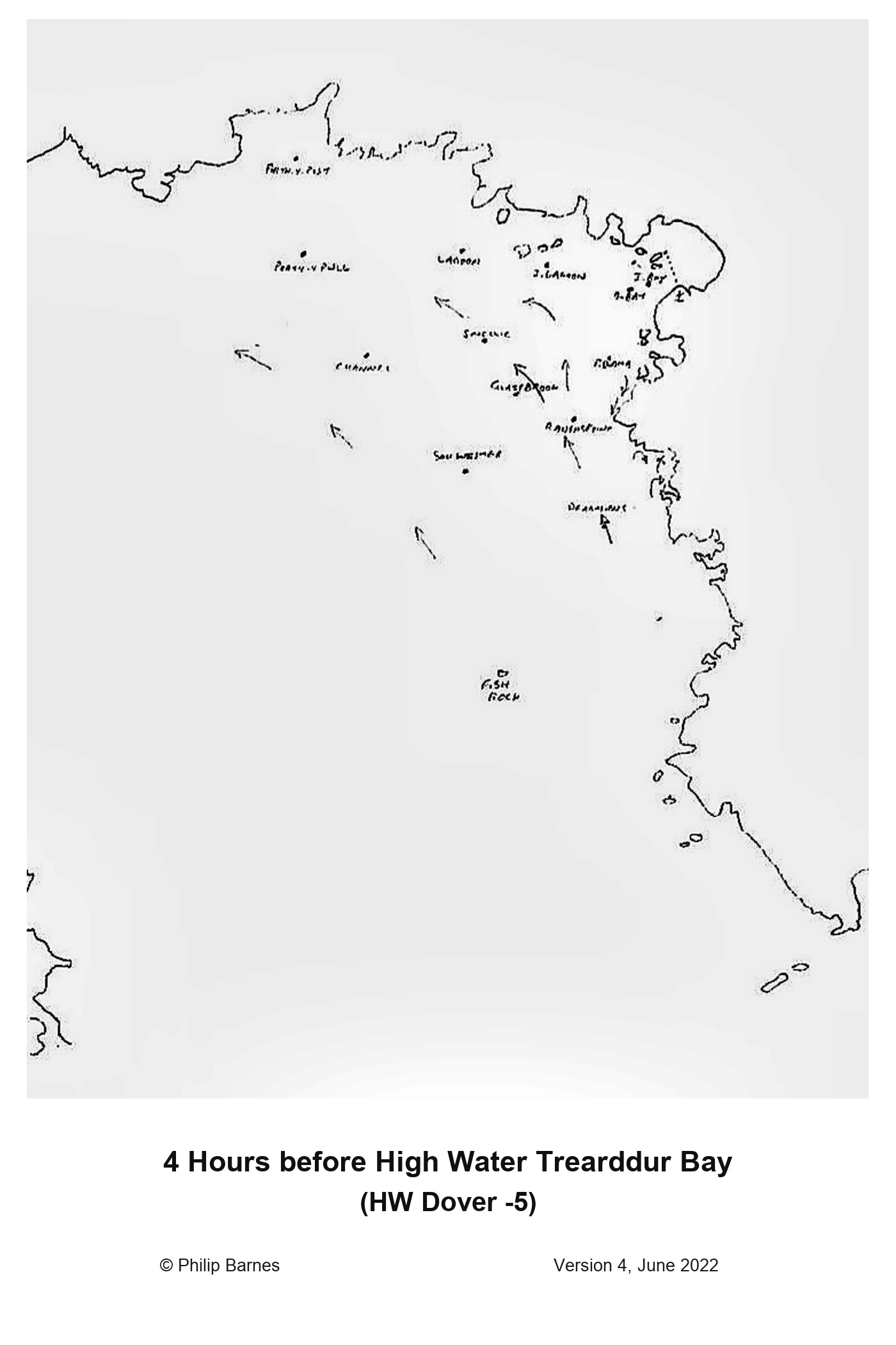
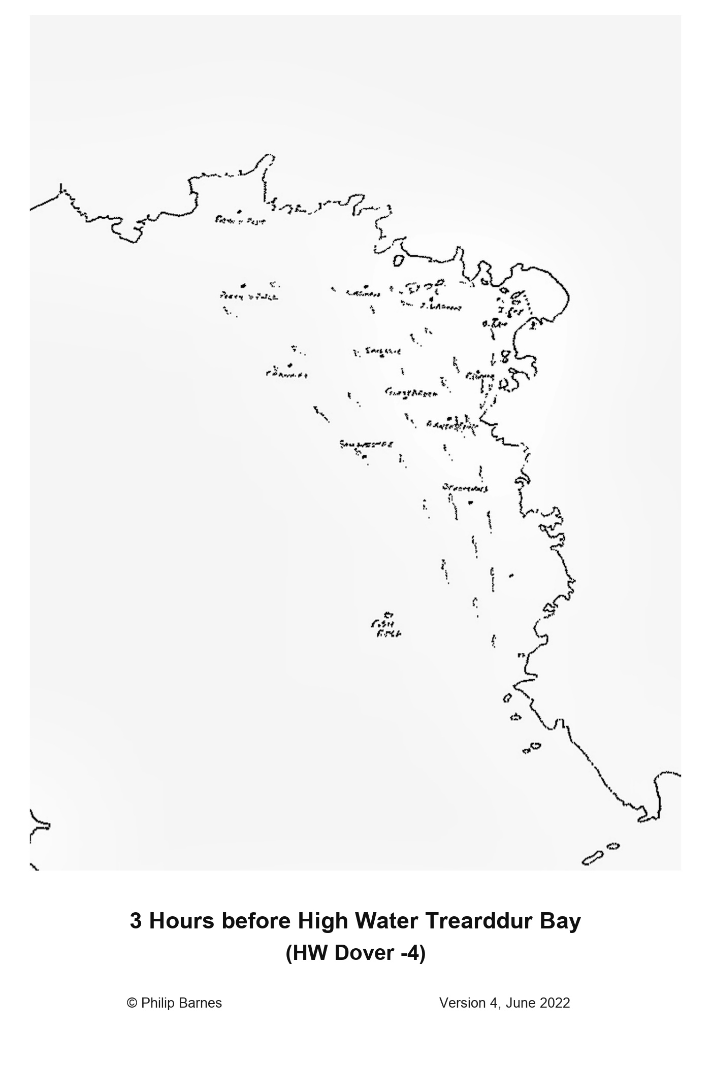
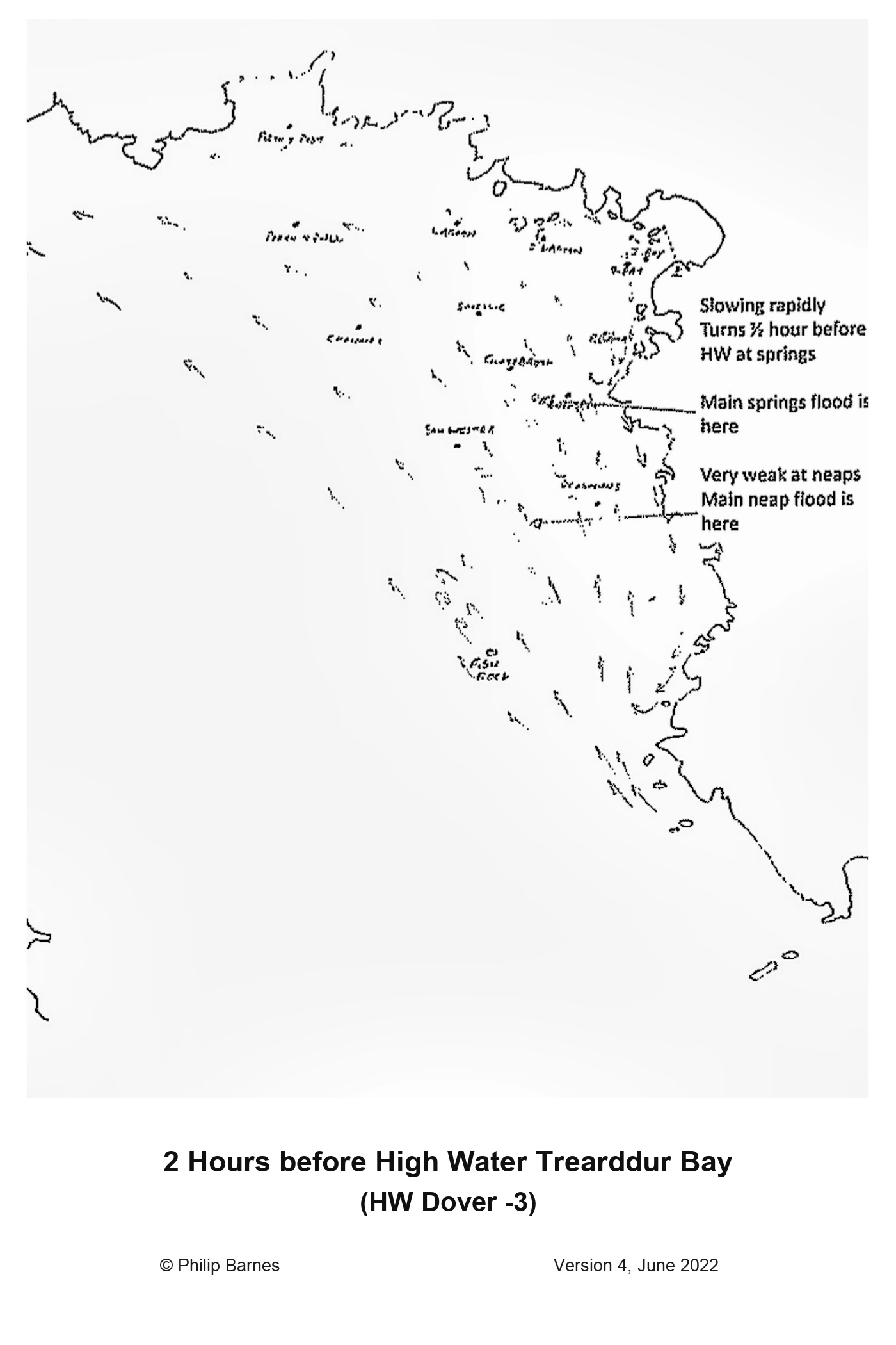
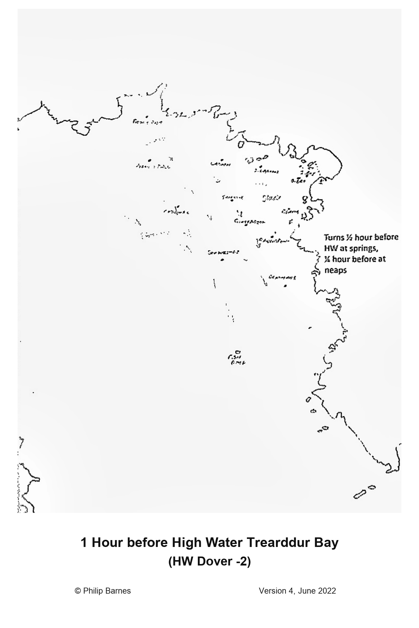
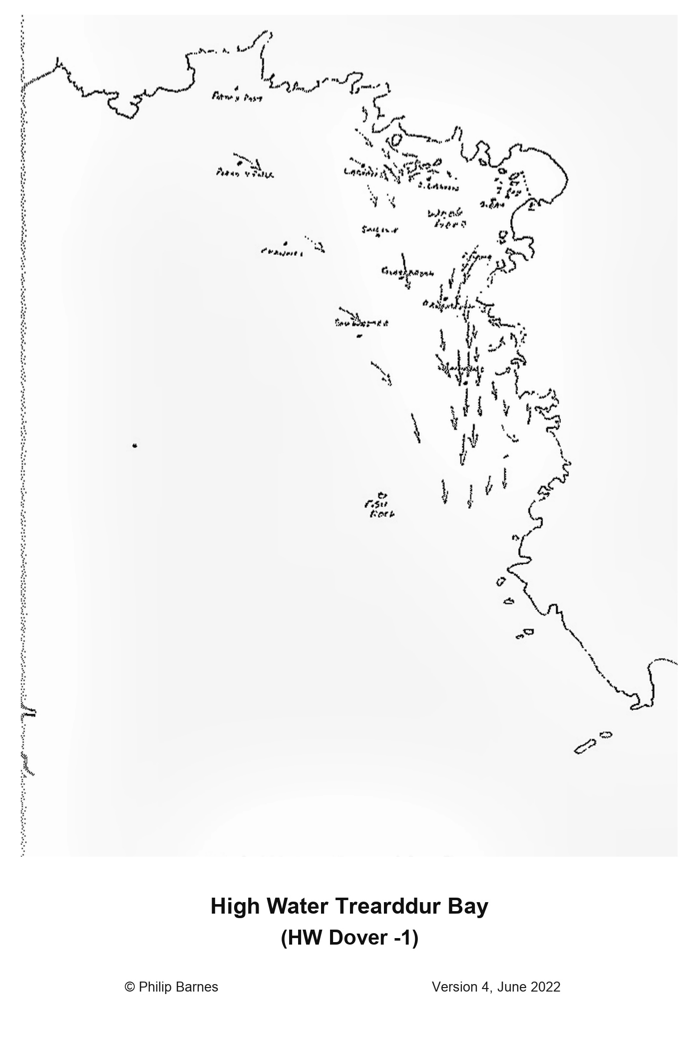
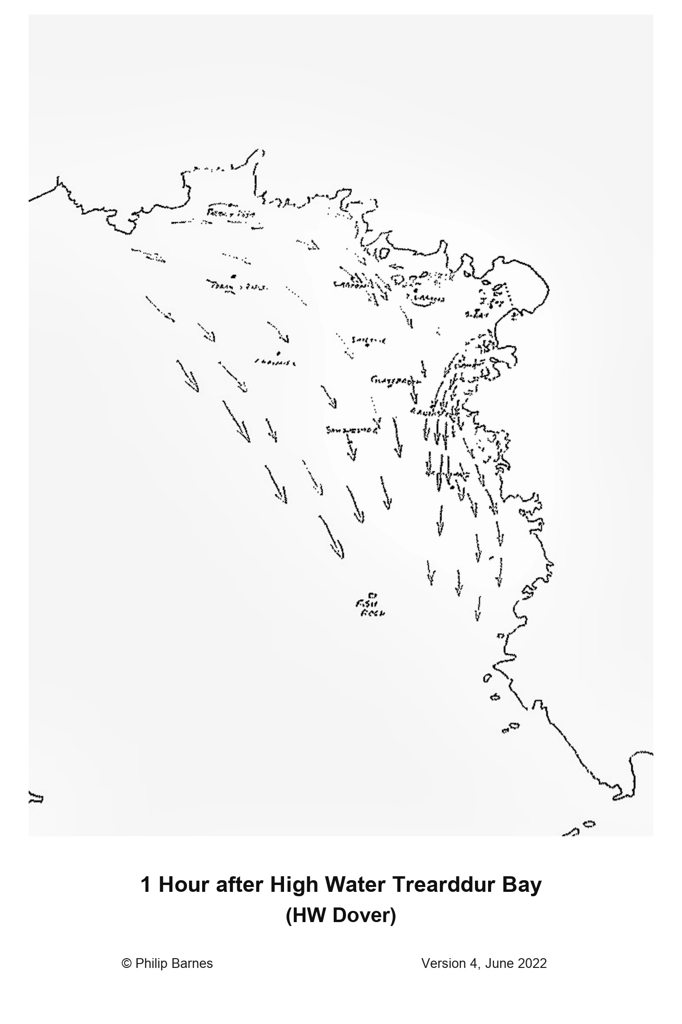
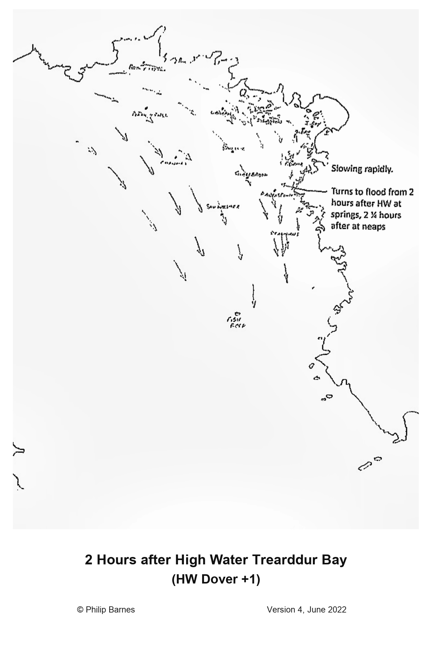
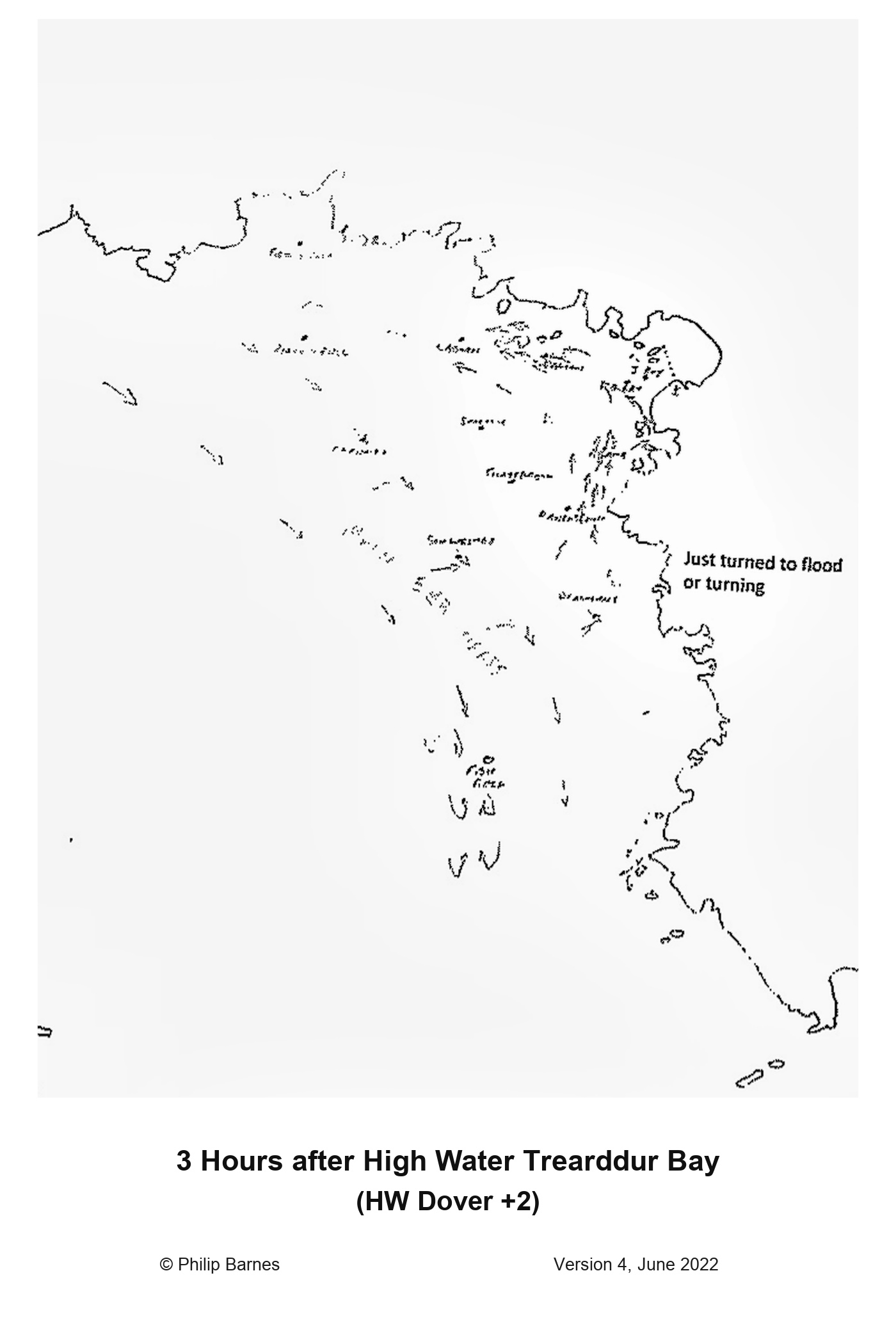
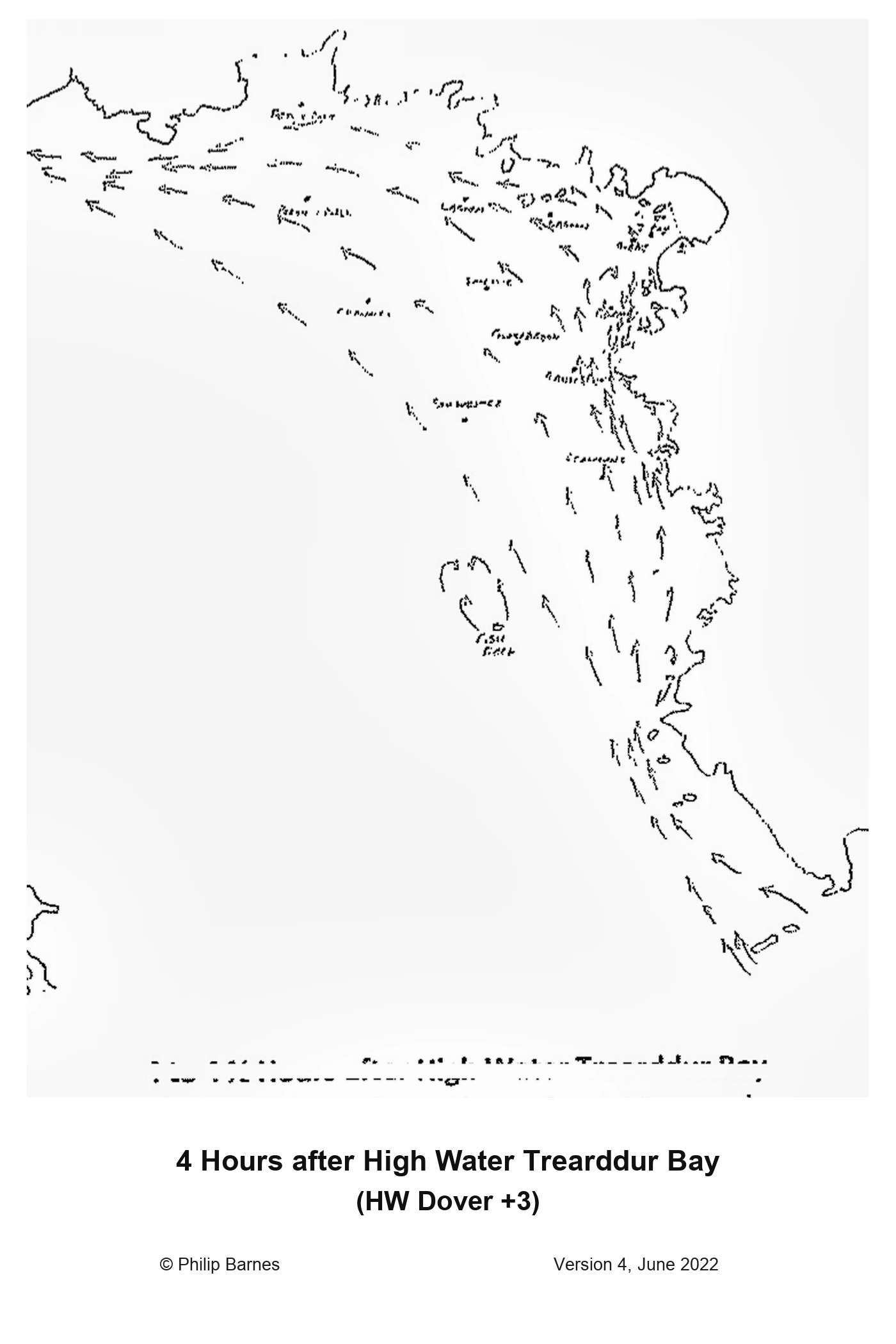
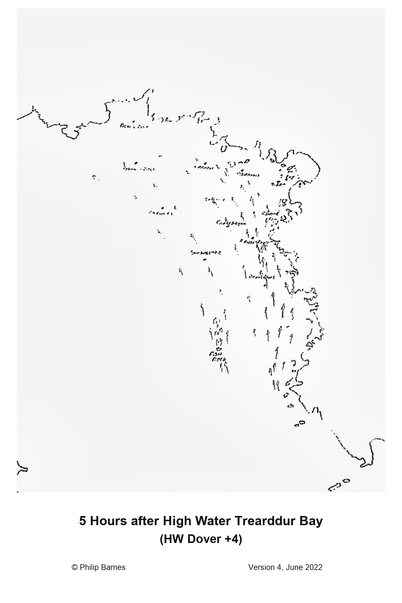
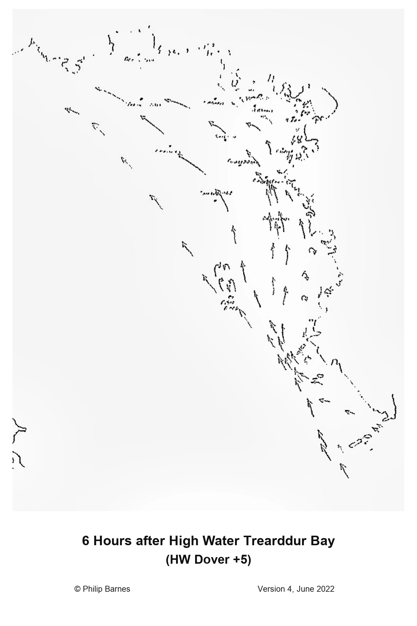
Step through the supplied local flow charts in time order. Each panel is labelled relative to Trearddur Bay high water and, when today's tide feed is available, with its corresponding local clock time.
How to use these charts
The arrowheads show the expected local direction of tidal flow. Times are calculated from the selected Trearddur Bay high water and explicitly use the UK civil time shown: BST during daylight saving or GMT during winter.
The complete scanned sequence contains twelve panels from HW-5 through HW+6. Flow-turn timing varies between springs and neaps, so confirm conditions at the committee boat and relevant marks before setting a course.
© Philip Barnes, Version 4, June 2022. Registered high-resolution extracts from the scan supplied to TBSC.